Year Built
2021
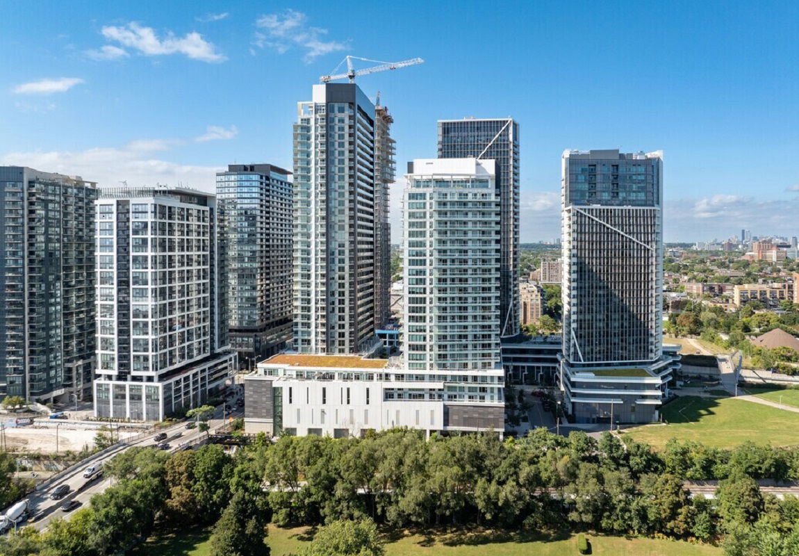
by BGO Living
11 Ordnance St, Toronto, ON M6K 1A1
Year Built
2021
Total Units
579
Storeys
34
0
Units for sale
0
Units for rent
Live MLS · Updated daily
Novus at Garrison Point stands 34 storeys tall at 25 Ordnance St, 11 Ordnance St and contains 579 units. This Toronto condo was completed in 2021 by BGO Living. Suite sizes range from 400 square feet to 2553 square feet.
Developer
BGO Living
Year Built
2021
Property Type
High-Rise Condo
Storeys
34
Total Units
579
Management
BGO Living
Underground Parking
—
Avg $/sqft
Steady
YoY change
—
Avg days on market
Walk Score
—/100
Daily errands on foot
Transit Score
—/100
TTC, GO, subway access
Bike Score
—/100
Bike lanes & infrastructure
Neighbourhood in Toronto
Fort York is a vibrant neighbourhood in Toronto. It offers a mix of parks, schools, and plenty of dining options.
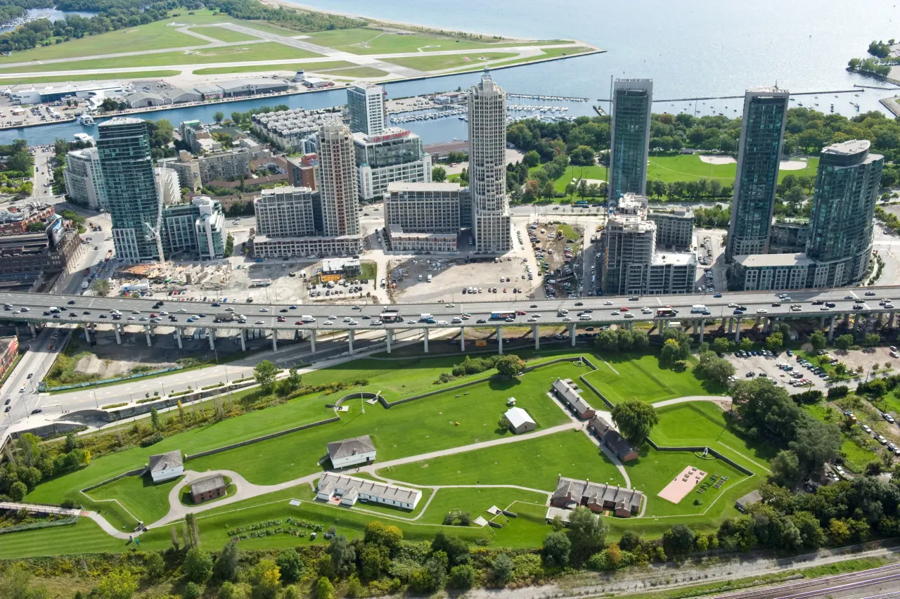
Toronto, Ontario
© Wikimedia Commons contributors (CC BY-SA)
Median asking price
In Ontario
$716,900
Median monthly rent
In Ontario
$2,499
For sale
0
For rent
0
Recently sold
Sign in to see sold data
Recently leased
Sign in to see leased data
Market data as of 2026-08-16. Sold and leased figures are neighbourhood medians over the last 12 months, published only where at least 5 homes closed — never a single sale.
What people love
Keep in mind
Daily life in Fort York is active and community-focused, with many amenities within reach. Residents enjoy a blend of urban living and green spaces.
The boundary
2.3 km²
Every count and every census figure on this page was measured inside this line — not within a circle drawn around a centre point.
19
Parks
8
Playgrounds
13
Transit stations
5
Grocery stores
15
Restaurants
15
Cafés
11
Gyms
3
Pharmacies
Counted across all 2.3 km² of Fort York. From OpenStreetMap, as of 2026-10-19.
20,071
Population (2021)
2.2 km²
Area
9,024
People per km²
32.9
Median age
$93,869
Median income
47%
Own their home
1.6
People per household
12,405
Households
Every age
What is built here
Own or rent
47%Owners
53%Renters
Across 12,405 households
When it was built
Mostly 2011–2015
Share of occupied homes, by the era they were built in. Bars are drawn against the busiest era, not against each other, because the eras are not the same length. The eight shares are unlikely to total exactly 100: Statistics Canada rounds each era's count to the nearest 5 before publishing it, so we print what the census reports rather than adjusting a figure to make the column add up.
Statistics Canada, Census of Population 2021. Added up from 6 census areas inside the boundary. Medians and rates are a population-weighted average of dissemination-area figures.
Sources: HOMEH listings, Statistics Canada, Census of Population 2021, OpenStreetMap, HOMEH school registry, Photo: © Wikimedia Commons contributors (CC BY-SA)