Year Built
2007
by Designers Walk Inc.
160 Bedford Road, Toronto, ON M5R2K9
Year Built
2007
Total Units
8
Storeys
5
0
Units for sale
0
Units for rent
Live MLS · Updated daily
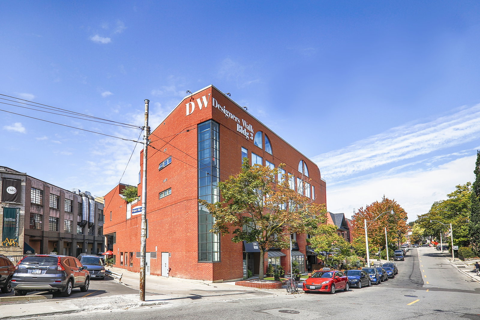
Rather than being named for the building’s designer or creator, DW actually stands for Designers Walk. This makes sense, as these Toronto lofts are located at the intersection of Designers Walk Lane and Bedford Road. Designers Walk and their affiliated Resource Centre are also, unsurprisingly, located on this lane. Known as Toronto’s go-to for all things interior design showroom, Designers Walk Inc. is also responsible for the construction of these very lofts.
Yes, we realize this is confusing. Thankfully, none of this background information is all that important for prospective buyers seeking Toronto condos for sale. What is crucial to know, though, is the following.
For one, Powell and Bonnell, a celebrated design team, is responsible for decking out every one of the eight soft lofts at 160 Bedford Road. There’s yet another key detail — the building is intimate as can be. With such a small number of homes here, turnover is destined to stay low, while giving the lofts an extra splash of exclusivity.
Next, the building is unassuming, thanks to its location on a charming, tree-lined street, just far enough away from the hustle and bustle. Rather than big-box commercial storefronts, 160 Bedford shares the street with one other mid-rise and a whole bunch of stunning Victorian homes.
Developer
Designers Walk Inc.
Year Built
2007
Property Type
Low-Rise Condo
Storeys
5
Total Units
8
Management
Designer's Walk Inc.
Visitor Parking
BBQ Area
Bike Storage
—
Avg $/sqft
Steady
YoY change
—
Avg days on market
Walk Score
87/100
Daily errands on foot
Transit Score
90/100
TTC, GO, subway access
Bike Score
74/100
Bike lanes & infrastructure
Neighbourhood in Toronto
The Annex is a vibrant neighbourhood in Toronto. It is known for its lively atmosphere and good schools.
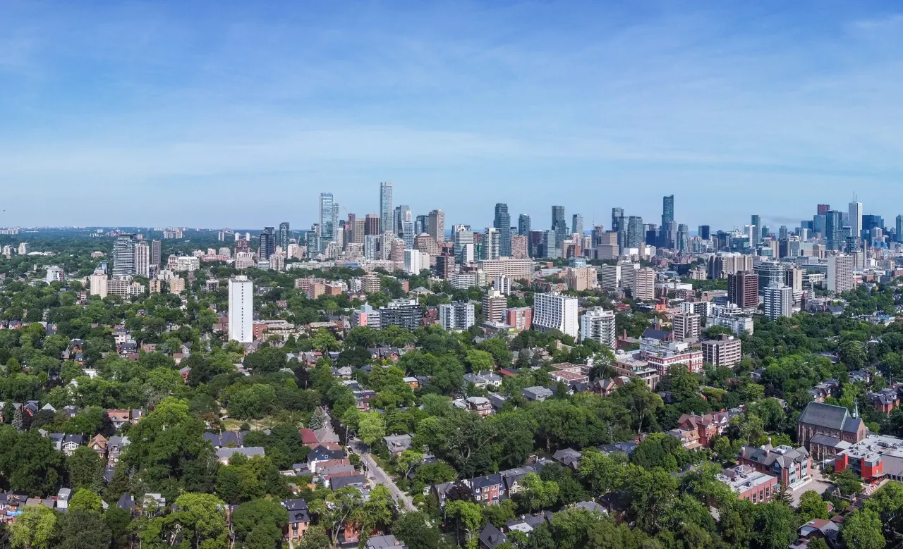
Toronto, Ontario
© Wikimedia Commons contributors (CC BY-SA)
Median asking price
In Ontario
$716,900
Median monthly rent
In Ontario
$2,499
For sale
0
For rent
0
Recently sold
Sign in to see sold data
Recently leased
Sign in to see leased data
Market data as of 2026-08-16. Sold and leased figures are neighbourhood medians over the last 12 months, published only where at least 5 homes closed — never a single sale.
What people love
Keep in mind
Daily life in The Annex is active and engaging, with many cultural events. Residents enjoy a mix of dining, shopping, and community activities.
The boundary
2.8 km²
Every count and every census figure on this page was measured inside this line — not within a circle drawn around a centre point.
25
Parks
15
Playgrounds
27
Transit stations
11
Grocery stores
116
Restaurants
46
Cafés
19
Gyms
4
Libraries
11
Pharmacies
Counted across all 2.8 km² of The Annex. From OpenStreetMap, as of 2026-10-26.
7.8/10
Average rating of the 3 rated schools in this area
8
Elementary
4
Secondary
Palmerston Avenue Junior Public School
Public · Grades JK–6 · Toronto DSB
175th of 3,045 Ontario elementary schools
360 students · EQAO 2024-2025
Jesse Ketchum Junior and Senior Public School
Public · Grades JK–8 · Toronto DSB
433rd of 3,045 Ontario elementary schools
535 students · EQAO 2024-2025
Huron Street Junior Public School
Public · Grades JK–6 · Toronto DSB
751st of 3,045 Ontario elementary schools
300 students · EQAO 2024-2025
Careerquest - Toronto
Independent
Not rated
City High School
Independent
Not rated
Dalton School, the
Independent
Not rated
Ontario Ministry of Education school registry; ratings from the Fraser Institute report card. These are the schools that stand inside The Annex, not a catchment — most Ontario boards do not publish attendance boundaries, and we will not draw a line we cannot source. Confirm enrolment with the school board before you buy.
30,705
Population (2021)
2.8 km²
Area
10,974
People per km²
42.3
Median age
$91,535
Median income
41%
Own their home
1.8
People per household
16,320
Households
Every age
What is built here
Own or rent
41%Owners
59%Renters
Across 16,320 households
When it was built
Mostly 1960 or earlier
Share of occupied homes, by the era they were built in. Bars are drawn against the busiest era, not against each other, because the eras are not the same length. The eight shares are unlikely to total exactly 100: Statistics Canada rounds each era's count to the nearest 5 before publishing it, so we print what the census reports rather than adjusting a figure to make the column add up.
Statistics Canada, Census of Population 2021. Added up from 45 census areas inside the boundary. Medians and rates are a population-weighted average of dissemination-area figures.
Sources: HOMEH listings, Statistics Canada, Census of Population 2021, OpenStreetMap, HOMEH school registry, Photo: © Wikimedia Commons contributors (CC BY-SA)