Year Built
2016
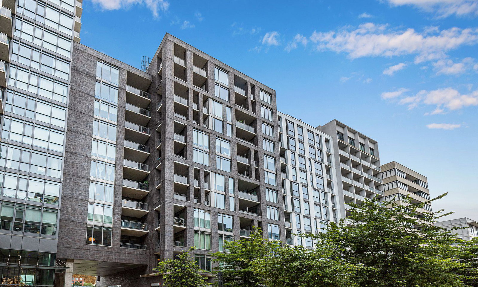
by Streetcar Developments
20 Minowan Mikan Lane, Toronto, ON M6J 0E5
Year Built
2016
Total Units
434
Avg $/sqft
$944
Storeys
22
0
Units for sale
0
Units for rent
Live MLS · Updated daily
The Carnaby is more than just a building — it's a community where residents from over 400 units have a chance to meet and mingle. Unsurprisingly, the Carnaby’s address is a lengthy one: the complex is located at 20 Minowan Miikan Lane & 7-15 Peel Avenue.
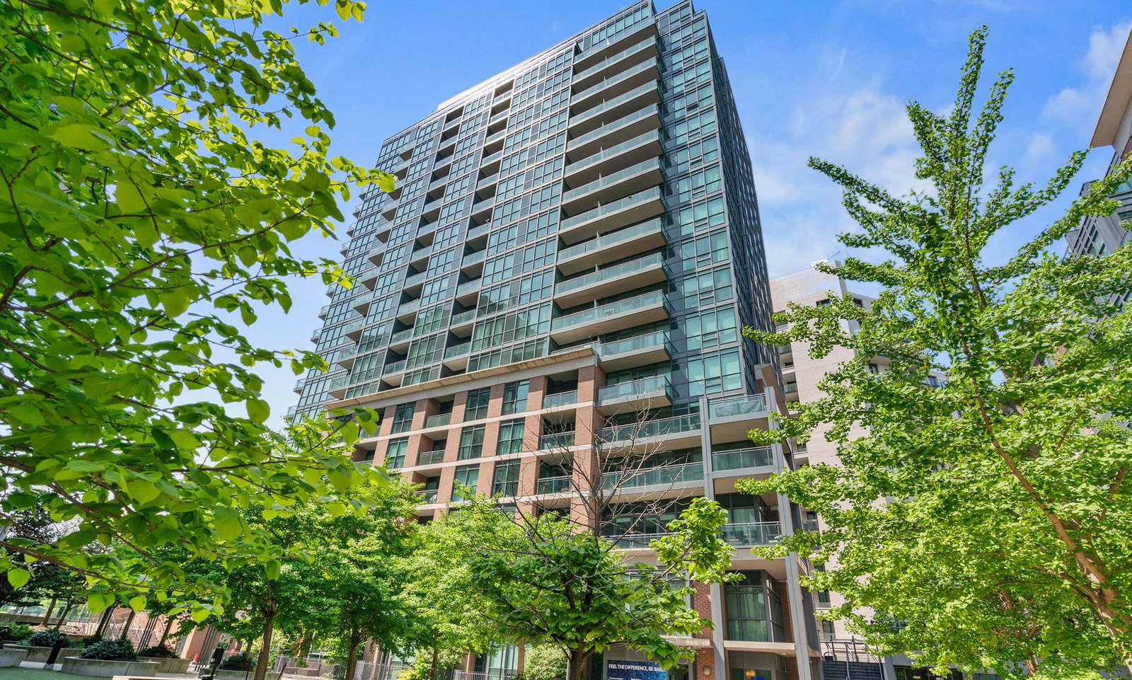
In fact, these soft lofts are made up of two phases. The first, the Carnaby Phase 1, is broken up into 213 homes that are spread out over 20 storeys. Phase 2, on the other hand, is comprised of four boutique buildings, where the remaining 224 lofts can be found.
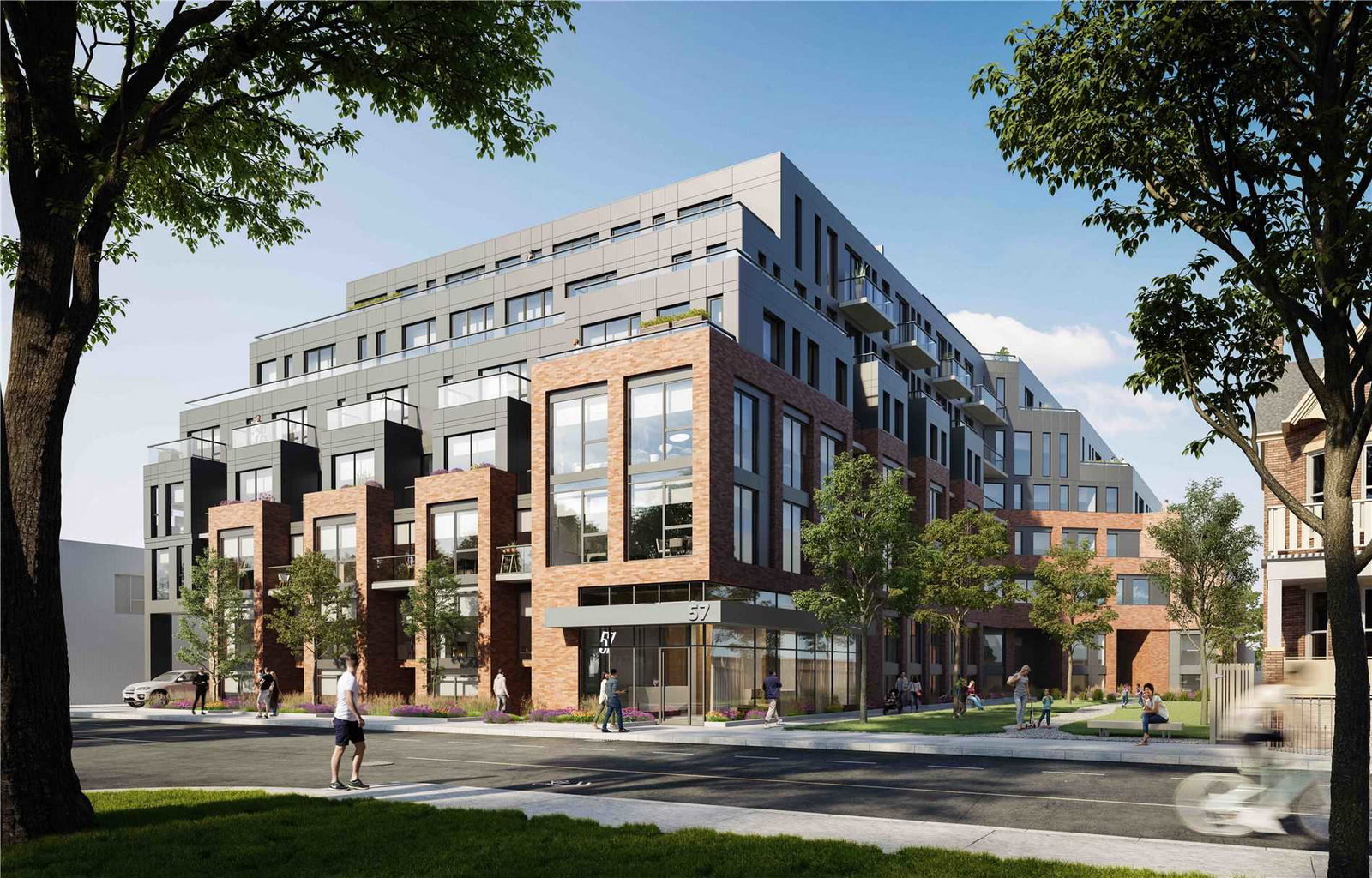
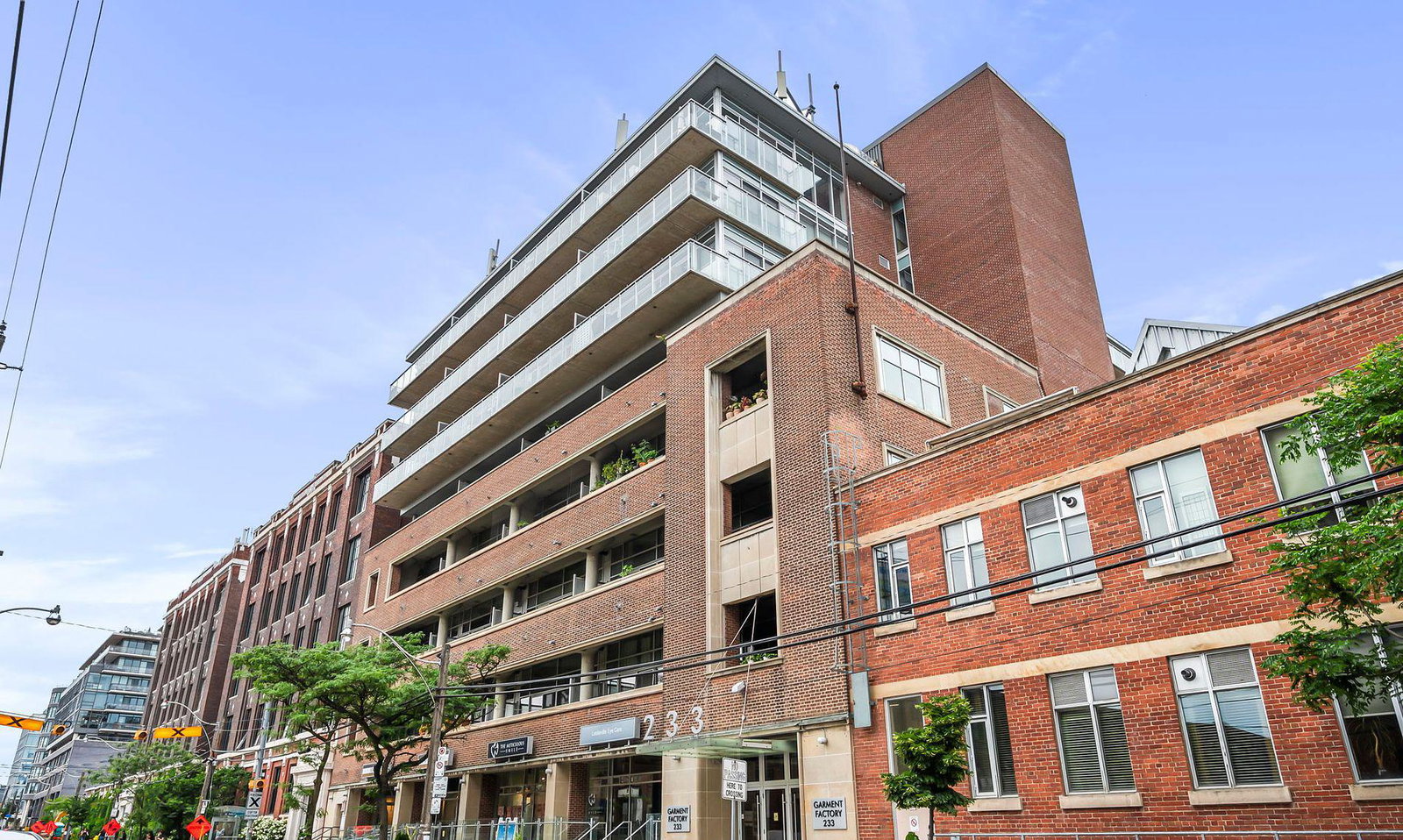
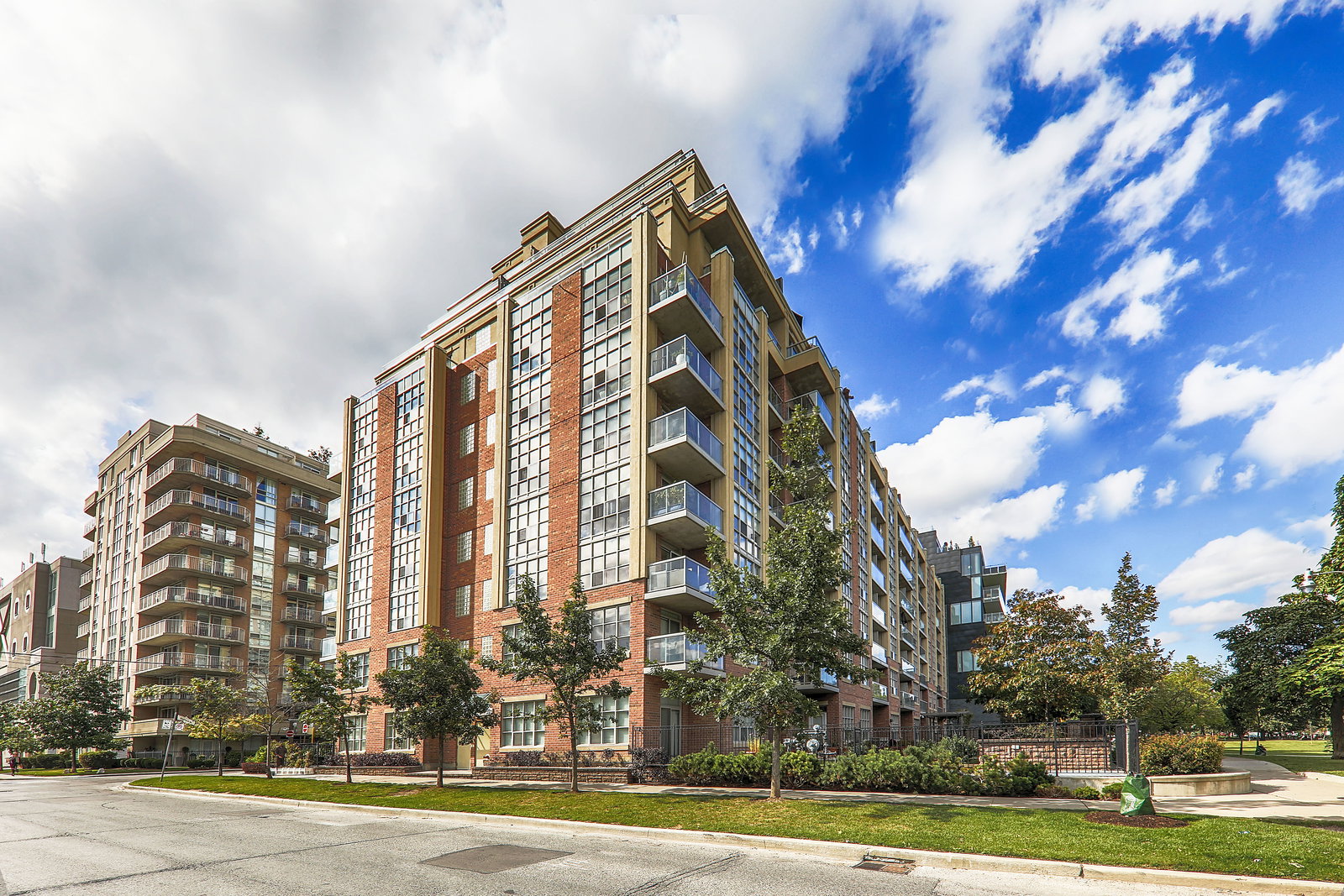
The Carnaby is yet another product of Streetcar Developments, a Toronto favourite for carefully thought out soft lofts in highly desirable neighbourhoods. Completed in 2016, this addition to the Parkdale neighbourhood features a façade of cool grey brick, concrete, and glass. This exterior is a direct reflection of the creativity found below: in the galleries and artisan boutiques that make the neighbourhood so unique.
A landscaped pathway leads residents between the two buildings that make up the Carnaby. The inspiration for this footpath (which also serves as a bike path) comes from Carnaby Street in London, a commercial pedestrian-only street that was also the stomping grounds of The Who and The Rolling Stones back in the day.
This residential and retail complex, which happens to include its own Metro grocery store, offers residents a number of shared amenities as well. The lineup includes a shared terrace, a state-of-the-art gym, and a party room and media room. And even with all of these extras, residents living at the Carnaby still tend to pay relatively low maintenance fees compared to other buildings in the city.
Developer
Streetcar Developments
Year Built
2016
Property Type
High-Rise Condo
Storeys
22
Total Units
434
Management
Crossbridge Condominium Services Ltd.
Guest Suites
Fitness Centre
Rooftop Garden
Visitor Parking
BBQ Area
Party Room
Bike Storage
24/7 Concierge
$944
Avg $/sqft
-5.3%
YoY change
33
Avg days on market
Walk Score
97/100
Daily errands on foot
Transit Score
96/100
TTC, GO, subway access
Bike Score
57/100
Bike lanes & infrastructure
Neighbourhood in Toronto
Roncesvalles is a vibrant neighbourhood in Toronto known for its walkability and community feel. It offers a mix of parks, schools, and local shops.
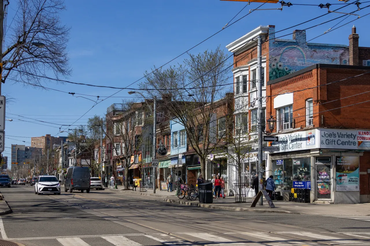
Toronto, Ontario
© Wikimedia Commons contributors (CC BY-SA)
Median asking price
In Ontario
$716,900
Median monthly rent
In Ontario
$2,499
For sale
0
For rent
0
Recently sold
Sign in to see sold data
Recently leased
Sign in to see leased data
Market data as of 2026-08-16. Sold and leased figures are neighbourhood medians over the last 12 months, published only where at least 5 homes closed — never a single sale.
What people love
Keep in mind
Daily life in Roncesvalles is active and community-focused, with plenty of local amenities. Residents enjoy easy access to parks and shops.
The boundary
1.5 km²
Every count and every census figure on this page was measured inside this line — not within a circle drawn around a centre point.
11
Parks
15
Playgrounds
26
Transit stations
10
Grocery stores
51
Restaurants
29
Cafés
7
Gyms
7
Pharmacies
Counted across all 1.5 km² of Roncesvalles. From OpenStreetMap, as of 2026-10-26.
5.6/10
Average rating of the 4 rated schools in this area
3
Elementary
1
Secondary
St Vincent de Paul Catholic School
Catholic · Grades JK–8 · Toronto CDSB
150th of 3,045 Ontario elementary schools
260 students · EQAO 2024-2025
Fern Avenue Junior and Senior Public School
Public · Grades JK–8 · Toronto DSB
1,026th of 3,045 Ontario elementary schools
675 students · EQAO 2024-2025
Bishop Marrocco/Thomas Merton Catholic Secondary School
Catholic · Grades 9–12 · Toronto CDSB
633rd of 742 Ontario secondary schools
775 students · EQAO 2024-2025
Parkdale Junior and Senior Public School
Public · Grades JK–8 · Toronto DSB
2,895th of 3,045 Ontario elementary schools
465 students · EQAO 2024-2025
Ontario Ministry of Education school registry; ratings from the Fraser Institute report card. These are the schools that stand inside Roncesvalles, not a catchment — most Ontario boards do not publish attendance boundaries, and we will not draw a line we cannot source. Confirm enrolment with the school board before you buy.
14,725
Population (2021)
1.5 km²
Area
9,739
People per km²
40.2
Median age
$98,303
Median income
47%
Own their home
2.2
People per household
6,790
Households
Every age
What is built here
Own or rent
47%Owners
53%Renters
Across 6,790 households
When it was built
Mostly 1960 or earlier
Share of occupied homes, by the era they were built in. Bars are drawn against the busiest era, not against each other, because the eras are not the same length. The eight shares are unlikely to total exactly 100: Statistics Canada rounds each era's count to the nearest 5 before publishing it, so we print what the census reports rather than adjusting a figure to make the column add up.
Statistics Canada, Census of Population 2021. Added up from 27 census areas inside the boundary. Medians and rates are a population-weighted average of dissemination-area figures.
Sources: HOMEH listings, Statistics Canada, Census of Population 2021, OpenStreetMap, HOMEH school registry, Photo: © Wikimedia Commons contributors (CC BY-SA)