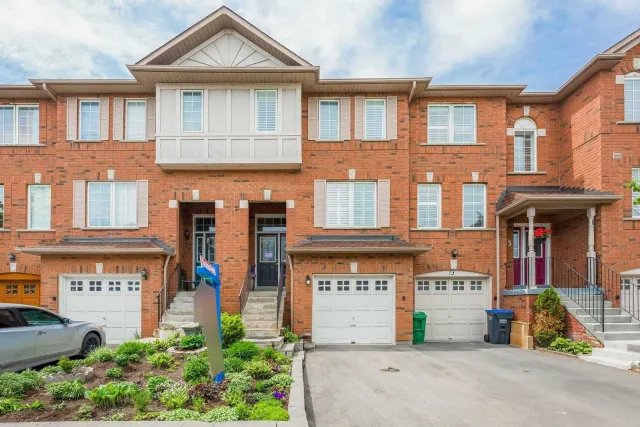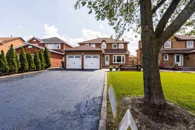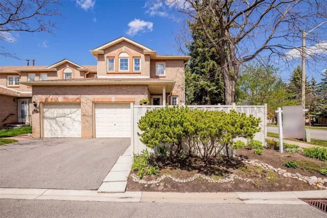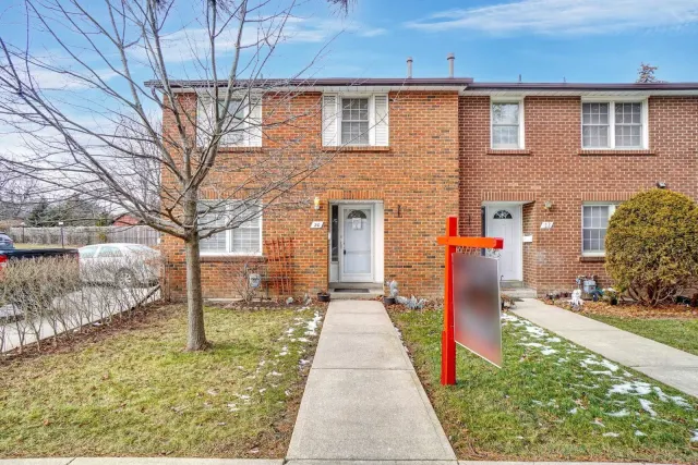

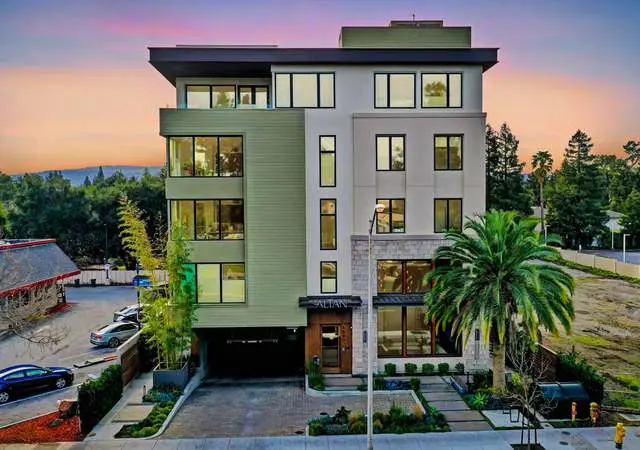
Available Units in 66 Enmount Drive
0
Units for sale
0
Units for rent
Live MLS · Updated daily
Overview
66 Enmount Drive is a condo building in Southgate, Brampton. Over the last 12 months, 1 unit sold.
Property type
Condo
Condo corporation
PCC 222
Sold and leased
1 sold · 0 leased
Last 12 months
Price History
3 recordsMarket Stats
—
Avg $/sqft
—
YoY change
—
Days to sell
Common Questions
What is the condo corporation number of 66 Enmount Drive?
66 Enmount Drive is registered as PCC 222.
Location & Walkability
Next door to 66 Enmount Drive
 Same block
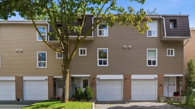
67 Enmount Drive
67 Enmount Drive
1 for sale
View building64 Enmount Drive
64 Enmount Drive
See its history
View building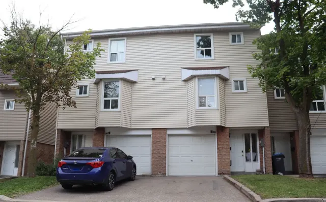 Same block
90 Enmount Drive
90 Enmount Drive
1 sold or leased in the last 12 months
View building59 Enmount Drive
59 Enmount Drive
1 sold or leased in the last 12 months
View building42 Ellis Drive
42 Ellis Drive
See its history
View building 50 m away
40 Ellis Drive
40 Ellis Drive
1 for sale
View buildingNeighbourhood in Brampton
Southgate
Southgate is a residential neighbourhood in Brampton, Ontario. It offers a mix of housing options and amenities for families and individuals.
4.07 km² · boundary
At a glance
Day to day: Livability
5.7
Schools near listings
out of 10 · averaged over 880 past and present listings
Fraser Institute ratings within 2 km of each listing, closer schools weighted more
Each score is an average over this area's own listings and is shown only where at least 5 of them carry one. Scores are reported by listing agents, not measured by HOMEH.
What it costs: Affordability
Median asking price
$654,900
In Southgate
$654,900
In Brampton
$859,999
In Ontario
$699,900
Median monthly rent
$2,250/mo
In Southgate
$2,250
In Brampton
$2,500
In Ontario
$2,497
≈ 24.3 years
Of rent to match the purchase price
On the market: Market snapshot
For sale
39
Median $654,900
Condos 20 · Houses 19
For rent
15
Median $2,250
Recently sold
Sign in to see sold data
Recently leased
Sign in to see leased data
Market data as of 2026-11-19. Sold and leased figures are neighbourhood medians over the last 12 months, published only where at least 5 homes closed — never a single sale.
The honest read: Pros & cons
What people love
- Affordable compared to Brampton's median prices
- Family-friendly environment with parks and schools
- Good income levels among residents
- Diverse community with various cultures
Keep in mind
- Limited public transit options
- Higher unemployment rate at 14.5%
The feel of the place: Lifestyle
Residents enjoy a suburban lifestyle with access to schools and parks. Daily life is calm and community-oriented.
Within the boundary: What's nearby
The boundary
4.1 km²
Every count and every census figure on this page was measured inside this line — not within a circle drawn around a centre point.
13
Parks
20
Playgrounds
2
Grocery stores
10
Restaurants
1
Gyms
1
Pharmacies
Counted across all 4.1 km² of Southgate. From OpenStreetMap, as of 2026-11-16.
The schools: Which schools, and how they rate
6.2/10
Average rating of the 2 rated schools in this area
8
Elementary
Georges Vanier Catholic School
Catholic · Grades JK–8 · Dufferin-Peel CDSB
6.9/105.9 over 5 yrs963rd of 3,045 Ontario elementary schools
235 students · EQAO 2024-2025
St. John Henry Newman Catholic Elementary School
Catholic · Grades JK–8 · Dufferin-Peel CDSB
5.5/105.7 over 5 yrs1,934th of 3,045 Ontario elementary schools
385 students · EQAO 2024-2025
Dorset Drive Public School
Public · Grades JK–6 · Peel DSB
Not rated
460 students · EQAO 2024-2025
Earnscliffe Senior Public School
Public · Grades 6–8 · Peel DSB
Not rated
670 students · EQAO 2024-2025
Eastbourne Drive Public School
Public · Grades JK–6 · Peel DSB
Not rated
280 students · EQAO 2024-2025
Fallingdale Public School
Public · Grades JK–6 · Peel DSB
Not rated
155 students · EQAO 2024-2025
Ontario Ministry of Education school registry; ratings from the Fraser Institute report card. These are the schools that stand inside Southgate, not a catchment — most Ontario boards do not publish attendance boundaries, and we will not draw a line we cannot source. Confirm enrolment with the school board before you buy.
The people: Who lives here
13,726
Population (2021)
5.9 km²
Area
2,329
People per km²
37.9
Median age
$93,376
Median income
75%
Own their home
3.1
People per household
4,440
Households
Every age
- Children (under 15)16.6%
- Working age (15–64)69.9%
- Seniors (65+)13.5%
What is built here
- Detached houses33.9%
- Semi-detached22.7%
- Townhouses21.9%
- Duplexes3.8%
- Low-rise apartments6.2%
- High-rise apartments11.4%
Own or rent
75%Owners
25%Renters
Across 4,440 households
When it was built
Mostly 1961–1980
- 1960 or earlier9%
- 1961–198076%
- 1981–19908%
- 1991–20004%
- 2001–20051%
- 2006–20100%
- 2011–20151%
- 2016–20211%
Share of occupied homes, by the era they were built in. Bars are drawn against the busiest era, not against each other, because the eras are not the same length. The eight shares are unlikely to total exactly 100: Statistics Canada rounds each era's count to the nearest 5 before publishing it, so we print what the census reports rather than adjusting a figure to make the column add up.
- Born outside Canada
- 43.6%
- Hold a degree or higher
- 21.1%
- Employment rate
- 56.1%
- Commute by transit
- 13.6%
- Commute by car
- 79.1%
- Children per family
- 1.8
- Median income after tax
- $83,236
- Average household income
- $104,048
- Living on a low income
- 8.5%
- Renters pay, per month
- $1,641/mo
- Owners pay, per month
- $1,643/mo
- Median home value at census
- $742,089
- Renters spending 30%+ of income on housing
- 23.2%
- Owners spending 30%+ of income on housing
- 28.2%
Statistics Canada, Census of Population 2021. Added up from 23 census areas inside the boundary. Medians and rates are a population-weighted average of dissemination-area figures.
Sources: HOMEH listings, Statistics Canada, Census of Population 2021, OpenStreetMap