
Total units
2
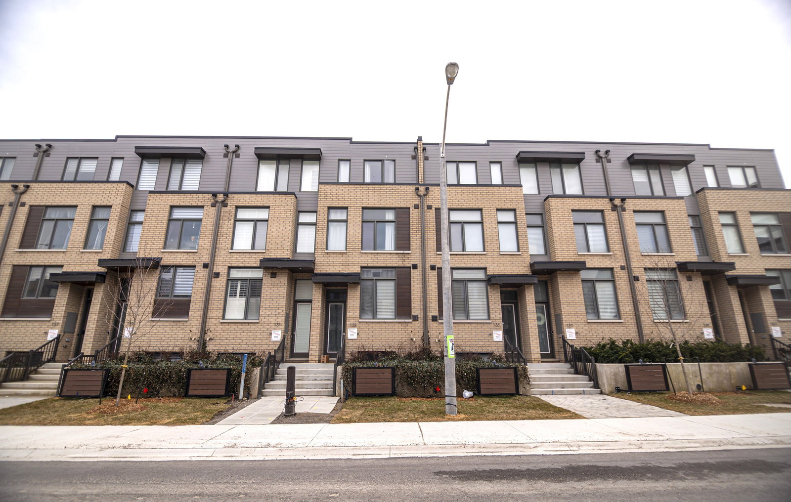
121-133 Green Gardens Blvd, Toronto, ON M6A 0E3
Total units
2
Storeys
2
0
Units for sale
0
Units for rent
Live MLS · Updated daily
133 Green Gardens Boulevard is a 2-storey condo building with 2 units at 121-133 Green Gardens Blvd in Englemount-Lawrence, Toronto.
Property type
Townhouse
Storeys
2
Total units
2
Visitor Parking
BBQ Area
—
Avg $/sqft
—
YoY change
—
Days to sell
133 Green Gardens Boulevard has 2 units across 2 storeys.
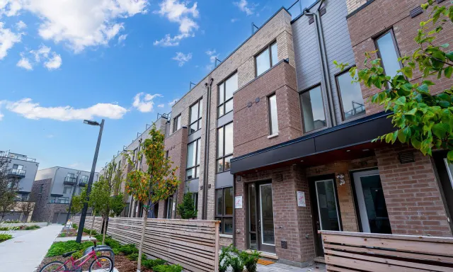 70 m away
88 Turtle Island Road
3 sold or leased in the last 12 months
View building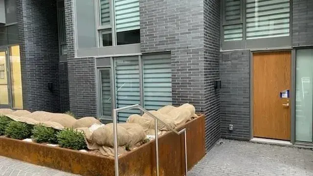 80 m away
106 Varna Drive
1 for rent
View building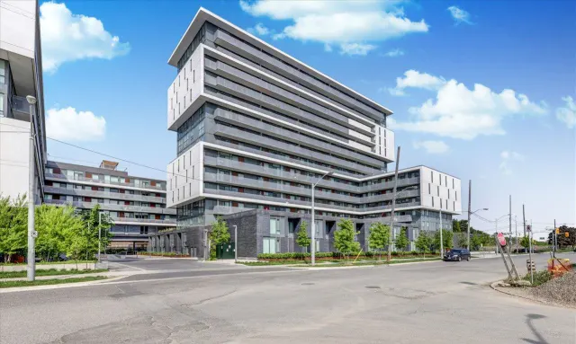 130 m away
217 Ranee Ave
5 for sale7 for rent
View building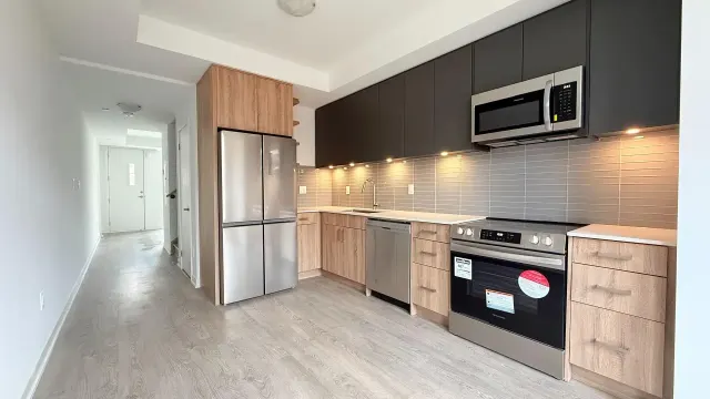 160 m away
38-78 Turtle Island Rd
1 sold or leased in the last 12 months
View building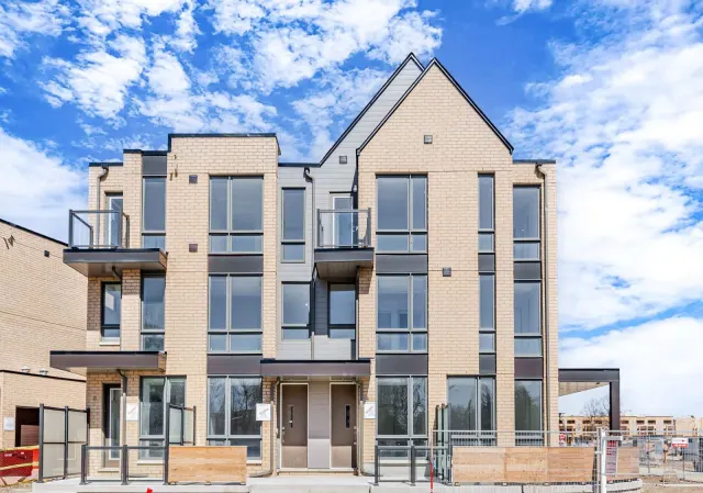 210 m away
4-8 Turtle Island Rd
1 sold or leased in the last 12 months
View buildingNeighbourhood in Toronto
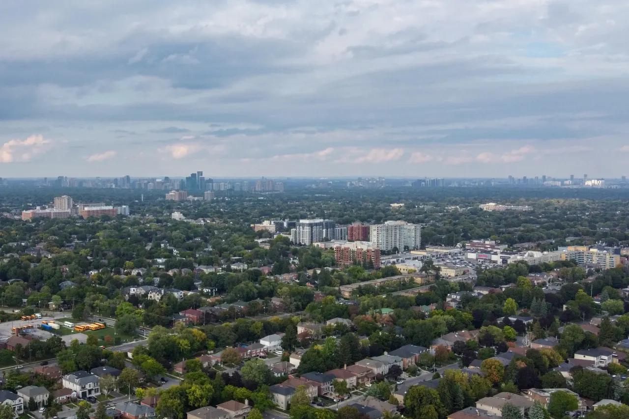
Englemount-Lawrence is a Toronto neighbourhood known for its parks and schools. It's a community with a good walkability score, making it easy to get around.
Toronto, Ontario
© Wikimedia Commons contributors (CC BY-SA)
For sale
0
For rent
0
Recently sold
Sign in to see sold data
Recently leased
Sign in to see leased data
Market data as of 2026-08-16. Sold and leased figures are neighbourhood medians over the last 12 months, published only where at least 5 homes closed — never a single sale.
What people love
Keep in mind
Daily life in Englemount-Lawrence is convenient, with many amenities nearby. Residents enjoy a community feel with access to parks and schools.
The boundary
3.5 km²
Every count and every census figure on this page was measured inside this line — not within a circle drawn around a centre point.
9
Parks
23
Playgrounds
1
Transit stations
3
Grocery stores
7
Restaurants
3
Cafés
1
Libraries
2
Pharmacies
Counted across all 3.5 km² of Englemount-Lawrence. From OpenStreetMap, as of 2026-11-16.
6.1/10
Average rating of the 5 rated schools in this area
6
Elementary
4
Secondary
Bialik Hebrew Day
Independent · TO Private Non-Inspected
299th of 3,045 Ontario elementary schools
127 students
Baycrest Public School
Public · Grades JK–8 · Toronto DSB
1,300th of 3,045 Ontario elementary schools
290 students · EQAO 2024-2025
Our Lady of the Assumption Catholic School
Catholic · Grades JK–8 · Toronto CDSB
1,729th of 3,045 Ontario elementary schools
370 students · EQAO 2024-2025
Glen Park Public School
Public · Grades JK–6 · Toronto DSB
1,868th of 3,045 Ontario elementary schools
410 students · EQAO 2024-2025
John Polanyi Collegiate Institute
Public · Grades 9–12 · Toronto DSB
620th of 742 Ontario secondary schools
500 students · EQAO 2024-2025
Bais Chomesh High School for Girls
Independent
Not rated
Ontario Ministry of Education school registry; ratings from the Fraser Institute report card. These are the schools that stand inside Englemount-Lawrence, not a catchment — most Ontario boards do not publish attendance boundaries, and we will not draw a line we cannot source. Confirm enrolment with the school board before you buy.
21,455
Population (2021)
3.5 km²
Area
6,183
People per km²
38.8
Median age
$95,589
Median income
43%
Own their home
2.8
People per household
8,175
Households
Every age
What is built here
Own or rent
43%Owners
57%Renters
Across 8,175 households
When it was built
Mostly 1961–1980
Share of occupied homes, by the era they were built in. Bars are drawn against the busiest era, not against each other, because the eras are not the same length. The eight shares are unlikely to total exactly 100: Statistics Canada rounds each era's count to the nearest 5 before publishing it, so we print what the census reports rather than adjusting a figure to make the column add up.
Statistics Canada, Census of Population 2021. Added up from 31 census areas inside the boundary. Medians and rates are a population-weighted average of dissemination-area figures.
Sources: HOMEH listings, Statistics Canada, Census of Population 2021, OpenStreetMap, HOMEH school registry, Photo: © Wikimedia Commons contributors (CC BY-SA)